The warning signs appear subtly at first, such as nuisance flooding on sunny days, storm drains backing up during routine high tides, and the gradual narrowing of beaches that generations have enjoyed. Yet beneath these incremental changes lies a transformative threat that will redefine Galveston Island’s geography within the lifetime of its current residents. Recent galveston sea level rise projections paint a sobering picture of the decades ahead, where rising waters threaten to reclaim the very ground upon which this historic community stands.
With over $30 billion in insured coastal property and an economy dependent upon tourism and port operations, Galveston cannot afford reactive approaches to climate adaptation. Understanding the specific projections, timelines, and preparation strategies becomes essential for homeowners, business investors, and municipal planners navigating an increasingly uncertain coastal future.
Understanding Current Galveston Sea Level Rise Projections
The science surrounding galveston sea level rise has evolved from speculative modeling to precise measurement, with tide gauge data at Pier 21 providing continuous records since 1908. These measurements reveal that local waters have risen approximately two feet over the past century, a rate significantly exceeding global averages due to the compounding effects of land subsidence.
Current projections from the National Oceanic and Atmospheric Administration (NOAA) and the Intergovernmental Panel on Climate Change (IPCC) suggest that galveston sea level rise will accelerate dramatically through the 21st century. Conservative estimates predict an additional 1.5 to 2 feet of rise by 2050, while high-emission scenarios project increases exceeding 6 feet by 2100. These figures represent not gradual background changes, but transformative shifts that will alter daily life, property values, and insurability.
The Texas General Land Office specifically identifies Galveston County as facing “extreme” vulnerability to galveston sea level rise, noting that the island’s average elevation of just seven feet above current sea level leaves a minimal buffer against encroaching waters. When combined with subsidence rates of 2-3 millimeters annually in some western sections, the relative sea level rise effectively doubles the threat compared to regions experiencing oceanic expansion alone.
The Flooding Crisis: Beyond Storm Surge
While hurricanes generate dramatic headlines, the insidious threat of chronic flooding from galveston sea level rise promises more persistent disruption. “Sunny day flooding” high tide inundation occurring without storm activity has increased from rare occurrences to monthly events along sections of Broadway and Harborside Drive.
Infrastructure Submersion
galveston sea level rise threatens to submerge critical infrastructure long before total island abandonment becomes necessary. Underground electrical vaults, wastewater lift stations, and stormwater drainage systems engineered for 1980s sea levels now experience regular saltwater intrusion during spring tides. The city maintains over 50 miles of gravity-fed drainage lines that will lose functionality as ocean levels rise above outfall elevations, creating backflow conditions where streets flood from below rather than above.
The Port of Galveston, responsible for nearly 2.5 million cruise passengers annually and substantial cargo operations, faces particular vulnerability. galveston sea level rise projections indicate that main access roads and terminal facilities will face regular inundation within three decades, requiring either massive elevation projects or operational relocation to maintain economic viability.
Groundwater Contamination
As galveston sea level elevates the island’s water table, saltwater intrusion threatens freshwater aquifers that supply municipal wells. The stratigraphic layers separating fresh groundwater from Gulf waters grow thinner as hydraulic pressure from the ocean increases, potentially contaminating drinking water supplies decades before surface flooding becomes chronic. This invisible crisis demands proactive well field relocation and desalination infrastructure investments that municipalities have only begun to contemplate.
Accelerated Erosion and Shoreline Retreat
The physical geography of Galveston makes it particularly susceptible to erosion amplified by galveston sea level rise. Barrier islands naturally migrate landward as seas rise, but fixed development prevents this natural adaptation, resulting in beach narrowing and structural undermining.
Beach Loss and Tourism Impact
Current galveston sea level rise projections suggest that without aggressive beach nourishment, the island could lose 30-50% of its recreational beach width by 2050. The West End, experiencing both rising seas and reduced sediment supply from interrupted longshore drift, faces the most dramatic retreat. Seawalls that currently protect developed areas will become exposed toes of land as beaches disappear entirely, transforming sandy recreation zones into rock-armored shorelines unsuitable for tourism.
The economic implications extend beyond lost visitor revenue. As galveston sea level rise narrows beaches, the storm protection they provide to behind-dune development diminishes, increasing vulnerability to even moderate storm events.
Structural Undermining
The combination of higher water tables and increased wave energy from galveston sea level rise accelerates foundation degradation throughout the historic district. Piers and pilings supporting beachfront structures experience increased exposure to rot and marine borers as water levels rise, while the loss of protective beachfront exposes buildings to direct wave action previously absorbed by wide shorelines.
Engineering Adaptation Strategies
Confronting galveston sea level rise requires engineering interventions of unprecedented scale. The proposed “Ike Dike” coastal spine system represents the most ambitious effort, designed to protect the entire Houston-Galveston region from storm surge through a network of gates and seawalls. However, critics note that this $34 billion project addresses surge protection rather than the daily flooding from galveston sea level rise that will increasingly disrupt life.
Elevation and Resilience Standards
The city has begun implementing progressive building codes requiring new construction to exceed current floodplain elevations by three feet, anticipating decades of galveston sea level. However, retrofitting existing structures, particularly the historic homes that define the island’s characte,r presents financial and architectural challenges that resist easy solutions.
Beach nourishment programs have evolved from cosmetic maintenance to essential infrastructure protection, with the understanding that galveston sea level rise will demand continuous sand replacement rather than periodic replenishment. The West End Park and Shoreline Preservation Fund finances these operations through tourism taxes, recognizing that beaches represent critical infrastructure requiring ongoing capital investment.
Economic and Insurance Implications
The financial reality of galveston sea level rise manifests most immediately through the National Flood Insurance Program (NFIP). Premiums for properties in high-risk zones have increased 400% over the past decade as actuarial tables account for accelerating risk. As galveston sea level continues to rise, the affordability of coastal living will bifurcate, with wealthy property owners self-insuring while middle-class residents face displacement through premium costs rather than direct flooding.
Real estate markets have begun pricing climate risk, with properties below projected 2050 floodplates experiencing stagnating values despite Texas’s booming housing market. Savvy investors now demand elevation certificates and galveston sea level rise vulnerability assessments before purchasing, signaling that market awareness has moved beyond environmental activists into mainstream financial decision-making.
Community Preparedness and Managed Retreat
Perhaps the most contentious aspect of galveston sea level preparation involves “managed retreat,” the strategic relocation of development away from unsustainable areas. Municipal planners have begun identifying western peninsula areas where continued infrastructure investment becomes fiscally irresponsible, given galveston sea level rise projections.
Buyout programs for repetitive-loss properties represent early stages of retreat, converting vulnerable residential areas into open space that can absorb flooding without economic damage. These transitions require sensitive community engagement, as they effectively acknowledge that certain Galveston neighborhoods have limited long-term viability given projected sea levels.
Community education initiatives now emphasize personal preparedness, teaching residents to elevate utilities, install backflow preventers, and maintain evacuation resources. The realization that galveston sea level will eventually necessitate partial island abandonment has prompted discussions about “transitional resilience,” maintaining viability for the coming decades while acknowledging ultimate limits.
Conclusion
The projections for galveston sea level rise demand immediate, sustained action rather than panic or denial. While the island cannot reverse global climate trends, strategic adaptation can extend its viability for decades, protecting both the historic character and economic engine of this Gulf Coast treasure.
Success requires integrating galveston sea level rise projections into every municipal decision, from street paving to zoning codes. It demands regional cooperation between Galveston, Houston, and federal agencies to fund protection infrastructure. Most critically, it requires honest conversation with residents about the trade-offs between short-term property rights and long-term community survival.
The water will continue rising as science confirms. Whether Galveston remains a thriving coastal community or becomes a cautionary tale of delayed adaptation depends entirely on the preparation choices made today. The tide waits for no one, and neither does the future bear down upon this fragile barrier island.
Photo by micheile henderson on UnsplashRelated Posts
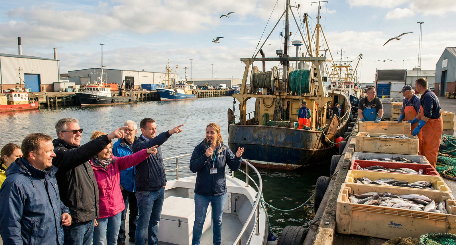
Working Harbor Tours: Experience the Real Trade
Working harbor tours represent a unique opportunity to witness the…
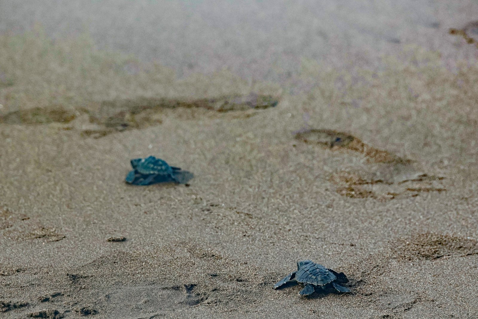
How Conservation Groups Help Galveston Sea Turtles
The first light of dawn breaks over East Beach, illuminating…
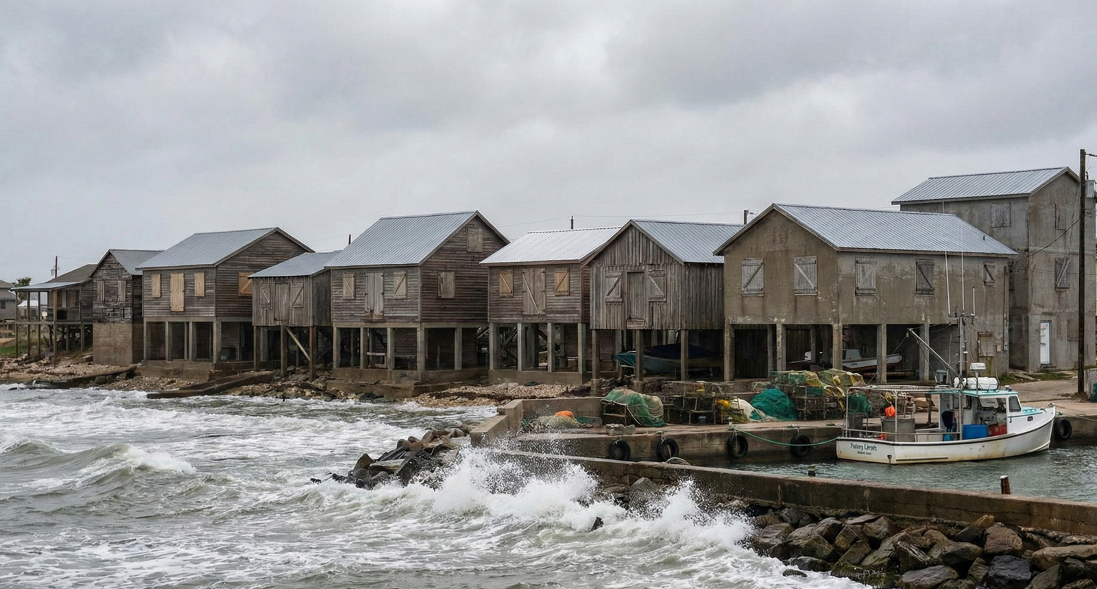
Storm-Proof Homes: Real Estate Resilience for Fishing Communities
Fishing communities situated along coastlines face unique and formidable challenges…